This article originally appeared in Verge 4.2 (Fall 2018), published by the University of Minnesota Press. It is reposted from Waging Nonviolence.
In 1995, the Okinawan community of Yomitan — which had been dispossessed of their lands during the Pacific War to allow for the building of a Japanese airfield — revealed their plans for the future of their village. Village leaders placed an image and a poem at the center of this new vision, an artful way of imagining indigenous space.
According to this vision, known as the Phoenix Plan, the cape of Yomitan is a phoenix about to take off towards the East China Sea. The Yomitan Hills and Takō Mountain become wings. Holding a lei of corals in its beak, the phoenix welcomes kariyushi, or prosperity, arriving from nirai kanai — the faraway land across the sea whence, according to traditional Okinawan belief, happiness comes. The energy of people, goods, and culture flows into the center, swirls like a windmill and generates its energy.
Drawing from a philosophy of feng shui, which represents the interconnectedness of communities with nature, Yomitan envisions the resurgence of the village, rising again like a phoenix. Reinforcing the visual imagination, the accompanying poem, written in the 8-8-8-6 style common to Ryukyuan poetry, suggests that following the “guidelines of the village,” this artfully constructed space of nature-people-culture will result in “a healthy community.”
In 1995, the village government of Yomitan adopted this Phoenix Plan based on indigenous community orientations and has continued to use it as the groundwork for the local government planning. The municipality incorporated the principle into its master plan, and the phoenix became a new icon to symbolize the village and its vision of the landscape. Continuing to guide current community-building efforts in Yomitan, the phoenix with its autochthonous wings of mountains works to slowly repossess bits of farmland, reclaiming them from their designation as Japanese (and later, U.S.) military airstrips.
U.S. military occupation of Okinawa
Even though Okinawa constitutes only 0.6 percent of Japanese national territory, it has been burdened with approximately 74 percent of U.S. military forces stationed in Japan. These forces occupy 18 percent of Okinawa Island, where much of the Okinawan population lives.
In the history of Okinawa, major land grabbing occurred in three forms: nation-state building projects, war, and military occupation. After World War II, the U.S. military ruled Okinawa for 27 years until May 15, 1972. During this period, military fortification increased, including the relocation of the U.S. Army and Marine Corps bases from mainland Japan to Okinawa.
The United States Civil Administration of the Ryukyu Islands, or USCAR, promulgated ordinances and began forcible land seizures in various places. While Okinawan residents persistently and nonviolently opposed land seizures, many communities were forced to relocate. The U.S. military, armed with bayonets, crushed houses and bulldozed cultivated farmland.
With the military fortification of the island, Indigenous communities in Okinawa underwent repeated processes of dispossession and repossession of their lands. Micro-level self-governing entities, which have historically been organized, played important roles in repossessions of the land and reconstruction of villages. One of them was the Yomitan Airfield.
Artful repossession of militarized land
The Yomitan Airfield is an area located at the center of the village. On the airfield, there was a 1.2-mile-long runway and one-mile taxiway. While remnants of the airfield are still there, today the area is open to a vast sky with sugarcane fields, a few blocks of greenhouses, new roads constructed by the local government, a public school and a farmers’ market. But this shift did not take place overnight.
Upon Okinawa’s return to the Japanese administration in 1972, the inhabitants learned that the Yomitan Airfield was registered as Japanese state property. At that time, the U.S. Army was using it for parachute training, and the United States was offered continued possession of Yomitan Airfield. Okinawans had anchored their hopes on the change of administration putting an end to the control of the island. However, the reversion did not change the situation in a way that many Okinawans had wished.
Indigenous landowners’ counteractions and resistance took various forms as they emphasized their ancestral relationship to the land. They gathered testimonies documenting the absence of land sales contracts. They also created a detailed map of the area based on aerial photographs and their memories of the prewar communities. In their request statement, the landowners added, “For farmers, land is the source of life. It is the place to converse with the spirit of ancestors. It is the spirit of ancestors themselves.”
In the early 1980s, although the dispute over the land ownership between the state and Indigenous landowners had not been settled, Yomitan invested financially in developing the Yomitan Airfield Conversion Plan, involving a series of consultations with the local community. In order to stop military use of the airfield, it was decided that much of the area would be designated for agricultural development and public facilities that would allow the villages to carry out land improvement and readjustment projects.
In 1995, the Japan-US Special Action Committee on Okinawa, or SACO, agreed on joint use of the Yomitan Airfield. Although the permission provided only for “interim use,” the repossession and use of the airfield by the village opened new space for the community. Through self-organization and the reconfiguration of space, the village successfully refuted the military use of indigenous space and regenerated the landscape as a democratic hub for deliberating alternative futures. This is when the community developed and detailed the Phoenix Plan, as a new vision to imagine indigenous space.
While standing firmly for indigenous land repossession and the self-governance of Yomitan, then-mayor Tokushin Yamauchi was aware of the rural municipality’s weakness to counteract the state and the US military. So, invoking a tactic of strategic essentialism, he orchestrated a range of cultural and ethical diplomacy.
Yamauchi passionately encouraged the villagers to restore indigenous cultural practices and traditions, while aiming to renew the sense of pride among Yomitan people. He set up spaces to produce indigenous textiles and pottery; building a local museum as well as organizing events to revitalize the local language of Shimakutuba. His actions to promote these indigenous products added recognition and value to them. Unprecedentedly, he laid out the Village’s Master Plan in Shimakutuba. Yamauchi noted,
“Language is a precious cultural heritage of each place. I think the language used to convey the future of Yomitan, which aims to become a self-sustainable community, should be our language.”
For the villagers, creating a community space with a land-based vision on the militarized area was a redefining moment. It marked the reclaiming of colonized space by indigenous hands, minds, and spirits and the beginning of exercising autonomy over the space. It was meaningful for villagers that local governance could be exercised on the land that everyone worked together to regain through protests and planning.
In 2006, village organizers, including those involved in envisioning the Phoenix Plan, reaped the rewards of long years of community organizing when 191 hectares of the airfield were transferred officially from US military control and usage, and returned to the Okinawan community. This achievement of land restoration reflects more than 60 years of native struggles. With the Phoenix vision of Yomitan, the former airfield is seen in the midst of a significant transformation. The Yomitan Airfield demonstrates an artful way of indigenous repossession of militarized land by a local community. As the people of Yomitan intended to stand against the mightier powers–the US military and the Japanese State — the village has rendered “artful ways” of resistance by using creative landscape planning rather than employing force.
While physically remaking “indigenous” space through land restoration and development for Yomitan, Yamauchi’s cultural promotion expanded the peoples’ sense of belonging and the scales of indigenous identification to fit in a post-reversion political structure. Moreover, sketching out Yomitan’s landscape and the government plan in the local language, which was once strictly banned by the state, showed the connection between places and indigenous knowledge, and opened the possibilities of indigenous resurgence that are grounded in and convey their worldviews and value systems.
Anthropologist Michael Hathaway has argued that indigeneity is “a process of continuing emergence.” We can see here that various conceptualizations of indigeneity are deeply enmeshed and submerged in rural Okinawan land struggles. Behind the scene of successful Okinawan resistance to the U.S. military occupation, making “indigenous space” meant that conceptions of space, power and belonging competed throughout the land restoration process.
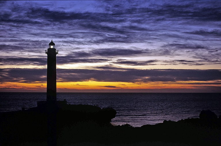
Teaser photo credit: Zanpa Point Lighthouse is a landmark in YomitanBy Fg2 – Self-photographed, Public Domain, https://commons.wikimedia.org/w/index.php?curid=2292691